Our vision is a world where every living being has equitable access to clean and healthy waterways.
The Earth's Waterways are in Trouble
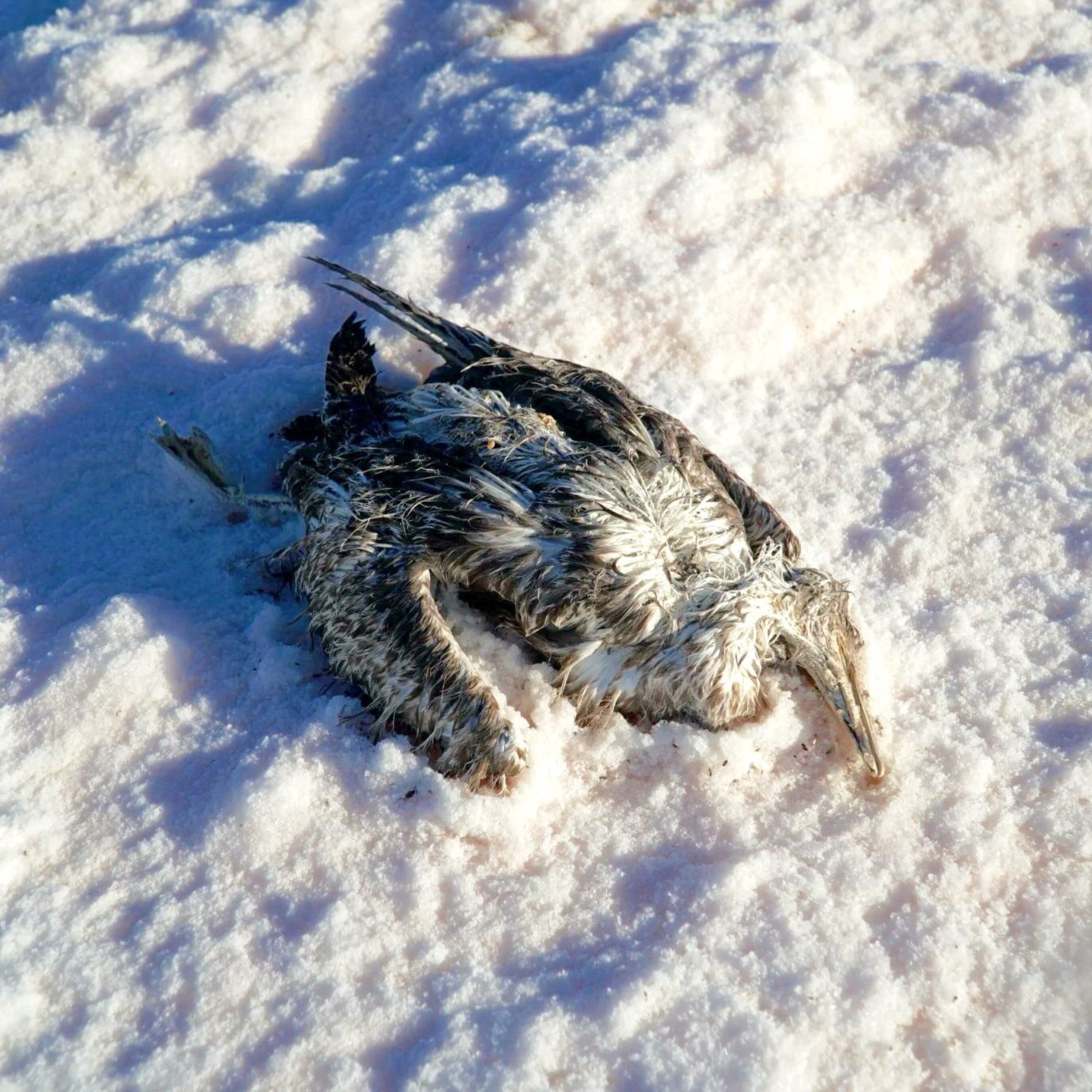
The Earth’s waterways are threatened. Climate change impacts result in drought conditions and flooding. Population pressure leads to increased pollution and overuse as well as habitat and species loss.
Our Mission
We protect waterways by helping people see them, engaging communities and enhancing scientific exploration through the creation and sharing of aquatic maps filled with vivid imagery and crucial data.
The Problem
Few people have the opportunity to actually visit and observe our waterways. However, location awareness, seeing the degradation, is critical to restoration and recovery.
Our Work
We collect data to visualize aquatic ecosystems in unprecedented detail, catalyzing a movement and enhancing scientific efforts towards conservation of these critical environments.
Our Three-Pronged Approach
Document
Conservation of waterways begins with understanding what the problems are. We help establish an intimate understanding by setting out to document these critical environments with imagery and data collected above and below the water.
Advocate
By publishing our RiverView and ShoreView image and data maps for everyone to see we can help turn crisis management into conservation management. Using our platform to tell the stories of these places that are critical to regional and global health.
Predict
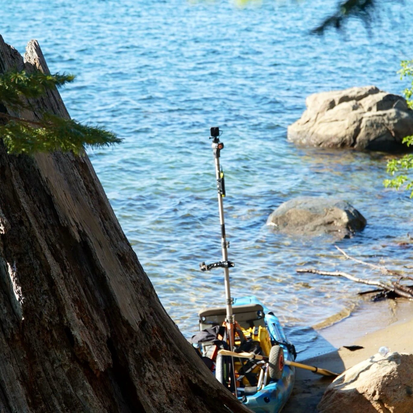
EarthViews collects hundreds of thousands of 360 -degree panoramic images, water quality measurements and other waterway data. Important insights into how these data change over time can be gained via artificial intelligence. From this a waterway rating system can be derived.
Learn more about our Documentation and Advocacy efforts in this story about the crisis at The Great Salt Lake by PBS NewsHour
What People Are Saying
“I can tell you, the kind of work they are taking on, it’s so important. It’s a game changer.”
— Amy Carey, Executive Director of Sound Action
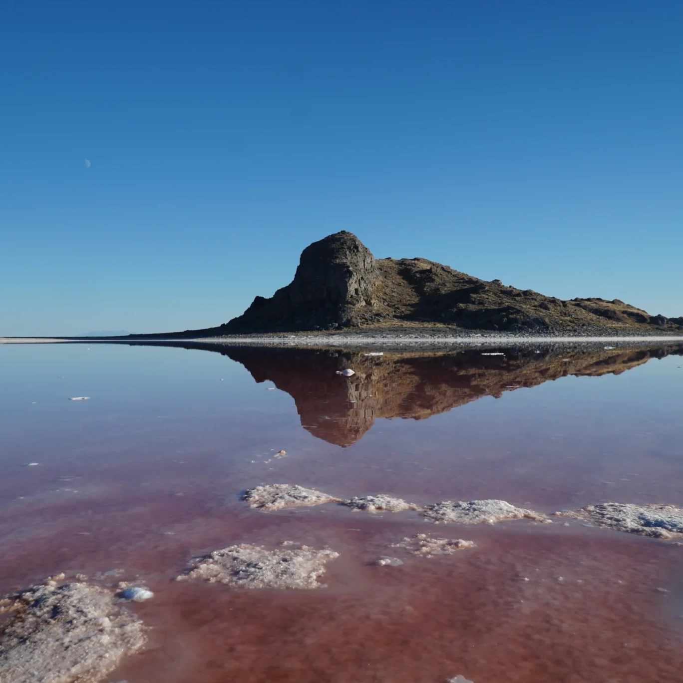
“If their work can call attention to the significance of these microbialite structures and give us information about the rate of loss, that will really help our science. EarthViews Conservation Society has a platform to amplify this crisis at The Great Salt Lake.”
— Bonnie Baxter, Director at Great Salt Lake Institute
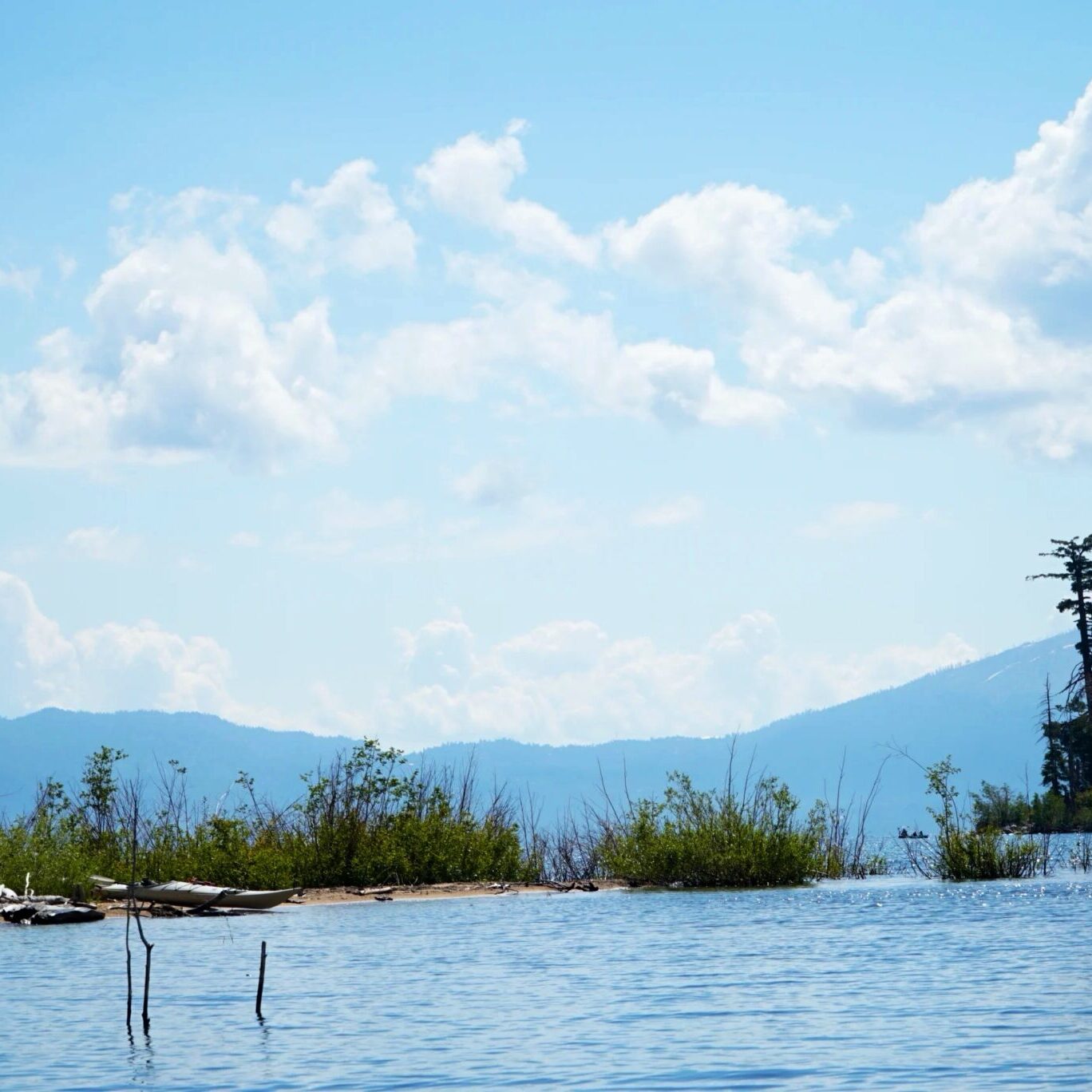
“This ShoreView map allows people to see Tahoe like never before. You can tour Emerald Bay, ‘paddle’ through the iconic rocks of Sand Harbor, or explore the hidden beaches along the East Shore with just the click of a button. Best of all, this new tool is bringing a wealth of data and information to scientists and conservation organizations working to improve the health of the Lake.”
— Amy Berry, CEO Tahoe Fund
